

Siwa
سيوةEl extremo occidental: un oasis de fuentes y palmeras datileras cerca de la frontera con Libia y, más allá, el mayor campo de dunas del planeta.
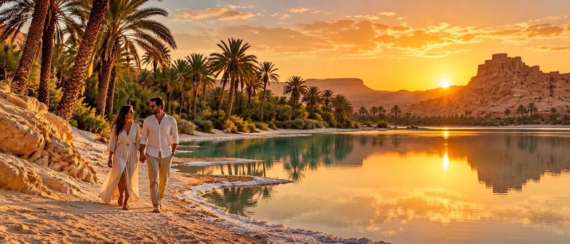 SIWA · KM 750
REGION ACCESSFrom Cairo · 750 km by road
BEST MONTHSOct – Apr
TYPICAL TRIP4 – 5 days
GOOD FORSlow travel, dunes, couples
LUGARES DEL CAMINO
4 paradas de las que oirás hablar junto al fuego.
Muestra un mapa de Mapbox. Mapbox (EE. UU.) recibe tu dirección IP al cargarlo.
Shali fortressThe old mud-brick town in the middle of Siwa. Best at sunset.KM 750
Cleopatra springA stone pool fed by a warm spring. Swimming allowed, bring a cover-up.KM 752
Salt lakesTurquoise pools so salty you float without trying.KM 760
Great Sand SeaDune ridges hundreds of kilometres long. Permits and two cars required.KM 780+
VIAJES · SIWA
4 viajes, con salida específica para cada viaje
 5 díasBAJO PETICIÓN
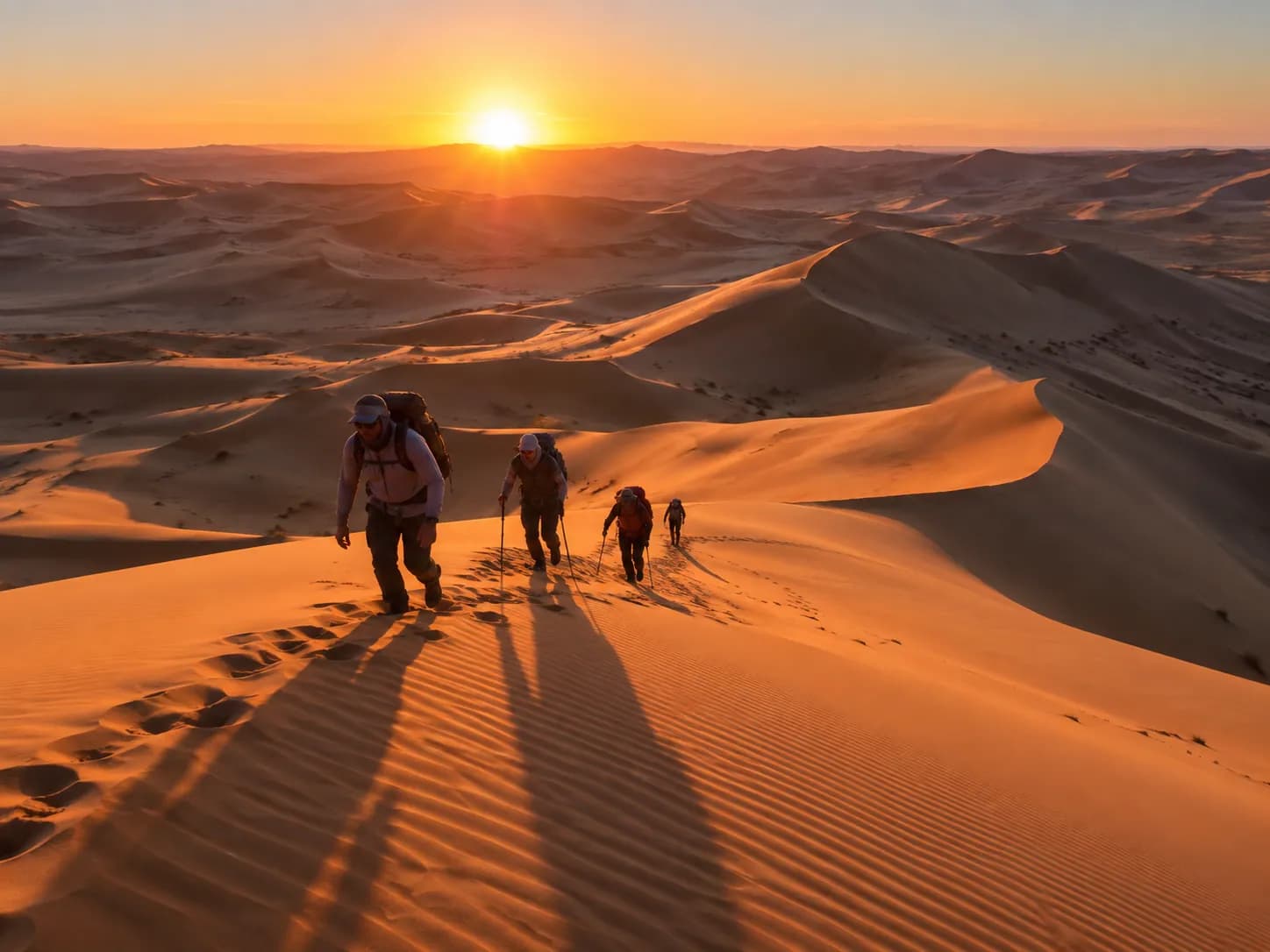
Travesía del Gran Mar de ArenaSiwaSiwa
Siwa
Dunas
Bir Wahed
Grupo pequeñodesde €690 p. p.
Ver viaje 4 díasBAJO PETICIÓN
Noches silenciosas en SiwaEl CairoEl Cairo
El Cairo
Siwa
Campamento en el Gran Mar de Arena
Privadodesde €580 p. p.
Ver viaje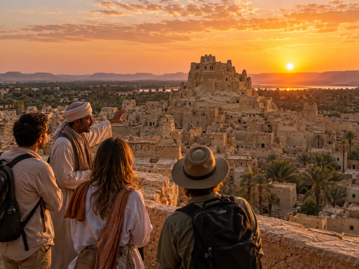 4 díasBAJO PETICIÓN
Siwa sin prisasEl CairoEl Cairo
El Cairo
Siwa
Fuente de Cleopatra
Privadodesde €560 p. p.
Ver viaje 4 díasBAJO PETICIÓN
Luna de miel en el Gran Mar de ArenaSiwaSiwa
Siwa
Dunas
Alojamiento en el oasis
Privadodesde €980 p. p.
Ver viajeMild winters, very hot summers.
Ene.MEJOR
Feb.MEJOR
Mar.MEJOR
Abr.MEJOR
MayoVIAJES CORTOS
Jun.VIAJES CORTOS
Jul.VIAJES CORTOS
Ago.VIAJES CORTOS
Sept.VIAJES CORTOS
Oct.MEJOR
Nov.MEJOR
Dic.FIESTAS
PREGUNTAS FRECUENTES
About nine hours from Cairo via the coast. We break it with a lunch stop in Marsa Matruh.
For the Sand Sea, yes — we arrange it with a passport copy 10 days before.